


Clougha Pike Lancaster Hill Walk
The Forest of Bowland is an area of sprawling heather moorland, punctuated by rocky outcrops and dissected by sheltered valleys. This walk provides a taste of these contrasts and gives some magnificent, far reaching views from the summit of Clougha.
Distance approx. 8 km / 5 miles
Gradient and Terrain: Long steady ascent and steeper descent. The ascent is generally easy but the descent is extremely rough, with one tiny bit of real rock scrambling.
Public Toilets and Refreshments: None
Important: Dogs are not permitted on the access land for this walk.
Getting to the start: Sadly, public transport is not really an option. Energetic people could walk or cycle the 7 km from Lancaster City Centre.

1 Start: Birk Bank car park on Rigg Lane, Quernmore
Follow track above car park then fork left. Follow green, mostly level, track, crossing wet patch with stepping stones, to bridge.
2 Otter Gear Bridge 1.4 km / 0.9 miles
Cross, bear left then in 20m turn right on rising grassy track (NOT right track immediately after bridge). Meet a gravel track and turn right, through dip then slanting up steep slope. It levels off then curves away to the right.
3. Point 3, 2.1km / 1.6 miles
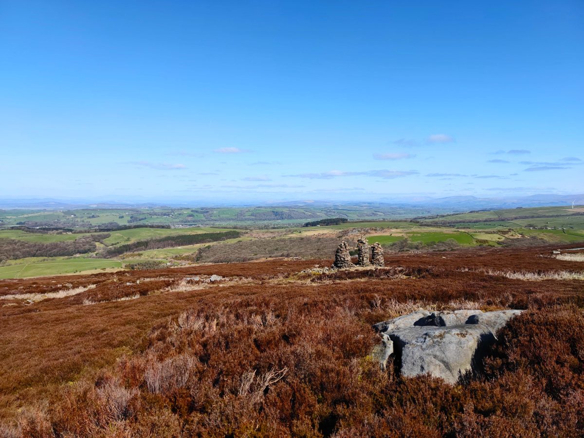
Continue up gravel track, making steady winding ascent. Pass tall cairns off to right, then gradient noticeably eases.
Pass parking area in slight dip, then level stretch. Rise again past extensive old stone workings. Path dips, runs level then rises slightly to distinctive rock outcrop. opposite this narrow path goes right through heather.
Path soon bears further right and becomes easier to follow, then meets clearer path; turn right. Continue over minor ups and downs and cross wire fence. Soon the cairn comes into view.
Look out for: Numerous grouse and perhaps other distinctive moorland birds like curlew and meadow pipit. The summit gives superb views. There’s a tremendous panorama of the Lakeland and Yorkshire peaks; closer lie Morecambe Bay, the Lune Valley and Lancaster itself.
Clougha Pike 5.6 km / 3.5 miles
Turn right at white survey column and follow wide path down over peat and rock, passing large cairn. Fence comes close on right then wall appears. Scramble down over rocks to left side of the wall and continue down path.
Eventually, alongside level section of wall, path bears away left, with more rocky sections then over open moor to gate in wall. Go through gate (usually wet) and continue straight ahead. At steeper ground path bears right, descending towards Windy Clough.
Go left over stile and descend path in groove. Lower down this forks several times; simply keep left each time, staying close to (but never crossing) the beck.
Duckboards lead round edge of wide marshy area. Turn right on broad track then keep left, over slight rise and back to car park.
Look out for: Little Windy Clough is just a nick in the skyline; Windy Clough itself is much more impressive. Both are marginal meltwater channels.
Get Directions
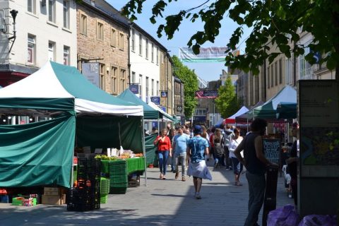
Gallery
Location
Details
- Birk Bank car park, Rigg Lane, Quernmore, Lancashire, LA2 9EP
- Get Directions