


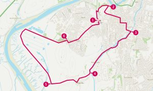
Lancaster and Lune Estuary Circular Walk

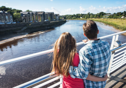
It’s part of Lancaster’s charm that it remains a compact city, enjoying close contact with surrounding countryside. This relaxed walking route takes in the highlights of Lancaster’s historic city centre before heading out along the canal to the River Lune estuary and meandering back into town across the freshwater and salt marshes.
AT A GLANCE
How far? 8.5km / 5.3 miles
How long? 2 hours
How hard? Relaxed: Occasionally uneven paths with a few stiles.
Dog-friendly? Keep dogs under close control and ideally on a lead.
Start/finish: Lancaster Railway Station
Toilets: St Nicholas’ Arcade, Marketgate or the Bus Station – plus various city centre pubs and cafés.
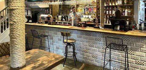
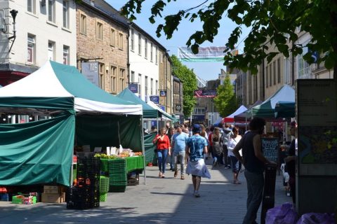
Refreshments: A wide choice of Cafes and Pubs in the city centre – we’d recommend Atkinson’s in China Street or the Sun Inn on Church Street.
Points Of Interest
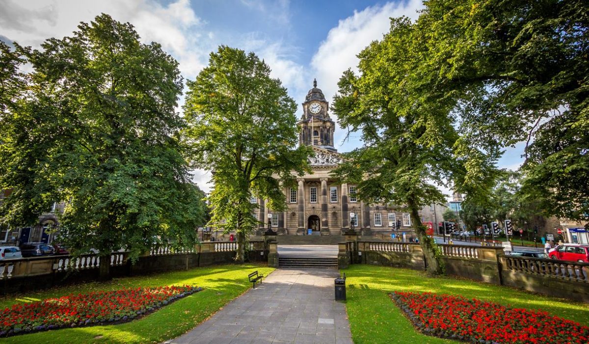
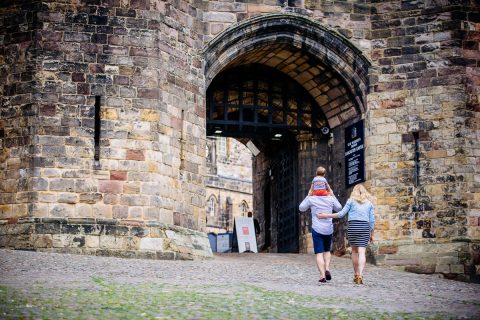
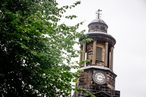
The city section of this route visits many of Lancaster’s highlights, so do leave extra time to visit some or all of the following: Old Town Hall, now City Museum in Dalton Square, St Peter’s Cathedral, the mediaeval Priory Church next to the castle and – of course – the imposing edifice of the castle itself.
1) START
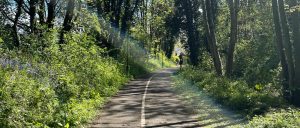
From main station entrance on Station Road head right, then take the City Loop footpath directly ahead on the bend. (If starting on the other side of the railway station, head left up the path, then take another left across the bridge). This path will take you past the football ground and onto Long Marsh Lane. Once you reach the street, take a right then a left after you go under the bridge. Continue along multi-user path below the church and through woodland.
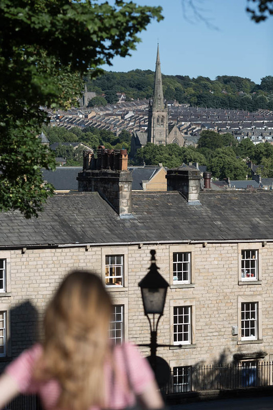
Look out for: The mediaeval Priory Church and the forbidding bulk of the Castle centred around its Norman keep. Great view over the city from the Priory steps.
2) 1.0km
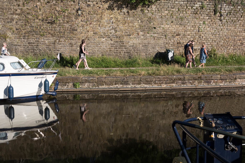
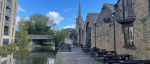
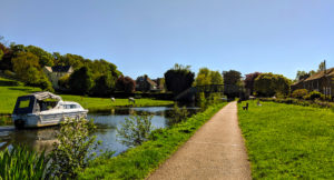
Before you reach the pedestrian bridge, look out for some steep steps on the right which will take you up to Priory Church. Once you reach the Priory, take a left then descend the steps past the Judge’s Lodgings to Bridge St. Cross bridge street at the crossing and continue straight to head down Church Street. At the bottom of Church Street, turn right into the pedestrianised zone then continue up to Horseshoe Corner and the main entrance to St Nicholas Arcade. Keep walking but keep an eye out for a small passage on the left called Ffrances Passage. Take this passage, cross the main road, and head diagonally right across Dalton Square to the town hall. Head past the town hall on the left hand side, past the town hall gardens, then take a left over the canal bridge and sharp right down cobbles onto the towpath and head past the outdoor seating of the White Cross pub.
Look out for: Former Storey’s mills at White Cross revitalised for offices and light industry.
3) 1.9km
Continue along the towpath for 600m, past the Water Witch pub, then head right across stone bridge and down on to the towpath on the opposite side. Continue Southwest along the far towpath for another 800m, taking the driveway on right at the gatehouse.
4) 3.7km
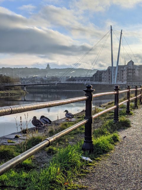
Continue past the gatehouse and up the hill before descending into the village of Aldcliffe. Head right when you reach the junction and follow the lane between the pastures to the coast path. Go through gate directly ahead onto the embankment (not right along the lane) and continue North – admiring the views of the Lakeland fells across Morecambe Bay.
Look out for: Around Marsh Point, extensive works by the Environment Agency to provide flood protection and create new wetland habitats. The pub across the river is the Golden Ball Inn at Snatchems, still occasionally cut off by high tides.
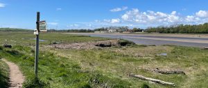
5) 4.3km
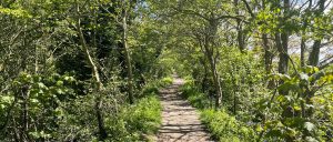
Continue North along Lancashire Coastal Way beside the salt marsh for a mile, then after the stile, head right through kissing gate and onto track heading through Freeman’s Wood. Continue past the lagoons and straight over intersection to the suburban edge of the city.
6) 7.2km
At playing field, head right onto Willow Lane, then left up Westbourne Road, passing Westbourne House and continuing downhill into the city centre then left after the railway bridge to arrive back at the station.
To download and follow this route on your smartphone, click on the link:
https://osmaps.ordnancesurvey.co.uk/route/8312317/Lancaster-City-Walk
Get Directions