


Lune Valley Circular Walk
This is a varied, eight-mile circular walk taking in Caton and Claughton in the Lune Valley. This route offers stunning views along the way and up from Caton Moor.
Start: Claughton, Lancaster Road (GPS waypoint SD 566 666)
Distance: 8 miles (13km)
Approx. Time: Allow 4 hours
Route Terrain: Tarmac, fields, moor, hard track. Dogs should be kept under control during farmland sections.
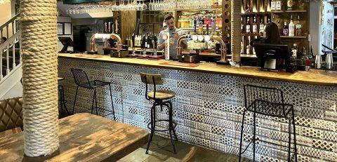
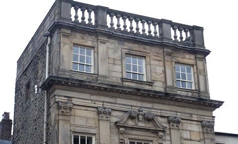
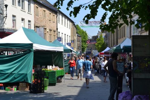
Facilities: Shops and Pubs in Caton, The Fenwick Arms in Claughton.
OS Maps: Landranger 97 (Kendal and Morecambe), Explorer OL41 (Forest of Bowland and Ribblesdale)

Your walk, step-by-step
1. From the Fenwick Arms car park, walk along the A683 towards Caton. After half a mile, take the road on the left leading to Brookhouse and Littledale. Continue on this road, passing through the small village of Caton Green. Just as you reach the next village, look for the signed footpath on the left, beyond a lay by with a bench and before the 30mph speed limit signs.
2. Cross the wooden stile and follow the path as it climbs gently alongside a sparse tree line and small ridge. (A on Map)
3. Cross a wooden stile into the next field and continue in the same direction, initially alongside the left hand field boundary.
4. As the field opens out, continue directly ahead aiming to keep the drystone wall ahead on your right. Pass through a small gap stile and continue on towards the farm buildings – the path may be muddy around the field exit. Exit the field through the gate and look for the waymarked gate ahead bearing right.
5. Follow the path uphill for a short distance before it joins a hard track. Turn right along the track and follow it until you reach the tarmac road. Turn right along the road and then left when it meets a larger road in the village. Follow this road until you reach a small crossroads; ignore the footpath sign ahead and turn left, following the long straight (B on Map) tarmac road as it rises gently uphill.
6. After half a mile, bear left onto a smaller road and continue climbing gently alongside woodland. Remain on this road for 1.3 miles passing a sharp hairpin bend, until you reach a cattle grid. Immediately beyond the cattle grid turn left following the drystone wall along the edge of Caton Moor towards the wind farm. The ground steepens significantly as you approach Greenholes Beck; take a detour to the right to find a suitable (C on Map) crossing place and then return to the wall. Just prior to the final wind turbine, a section of the wall has been lowered allowing you to cross – please note that this is tricky to spot! Cross the wall here and join the hard track.
7. Bear left on the track passing in front of the furthermost turbine and continue on until you reach a kissing gate next to a metal gate. Pass through the kissing gate and follow the track down until you reach a picnic area. Bear right past the picnic tables towards a large metal gate and waymarked footpath beyond.
8. Continue on this broad track as it winds past fields and farm buildings until you reach the aerial ropeway; turn left here, continuing downhill and passing one of the support towers on your right. The path descends alongside woodland with a high wire fence to your left.
9. When you reach a T junction with a dry stone wall and wooden gate ahead, turn left, following the track downhill for three quarters of a mile, returning you to the Fenwick Arms and the beginning of the walk.
This walk was written and first published by Lancashire Walks and Wildlife Magazine.
Get Directions