
Lancaster to Lune Valley Bike Ride (Traffic Free)
This easy ride takes you from the bustling heart of the city to the open spaces of the Lune Valley. Fine river views naturally feature at many places along the way, with highlights being the historic village of Halton and the dramatic bend of the river at Crook O’Lune. Keep a look out for kingfishers, herons and cormorants, and maybe leaping salmon too.
Distance: approx. 20 km/12.5 miles return.
Ride and terrain: The ride is entirely off-road. As it follows a converted railway track, gradients are minimal – though you may notice that it’s very slightly downhill on the way back.
Public Toilets: At Crook O’Lune (point 4) and Bull Beck (point 6).
Refreshments: Station Inn and The Ship in Caton, refreshments usually at Crook O’Lune (point 4, open Fri, Sat, Sun 9am-3pm – CASH ONLY) and Bull Beck (point 6)

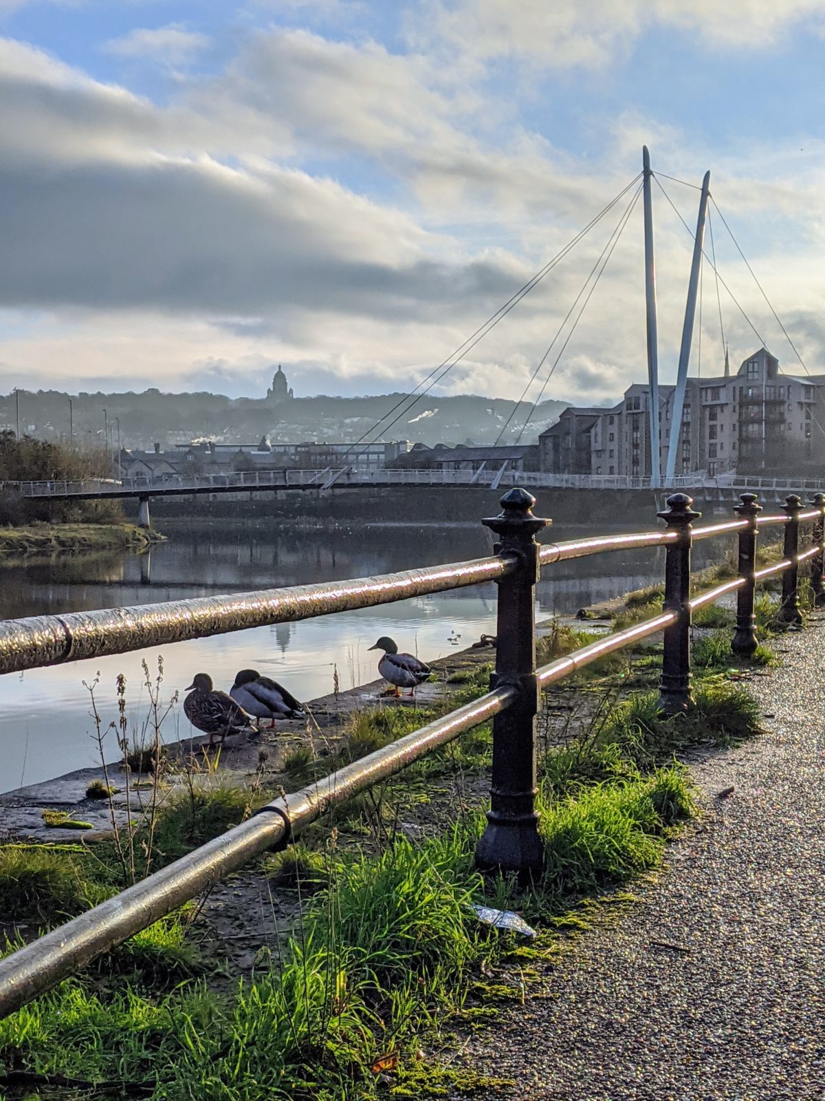
1 Start. St George’s Quay, Lancaster (LA1 1RB)
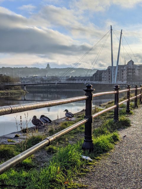
Leave the Millennium Bridge by the upper exit on the south bank, and head up-river. Wriggle through an underpass beneath a busy road and continue along the cycle-track, under Skerton Bridge and past Skerton Weir.
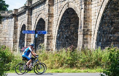
Look out for: Historic Skerton Bridge, an engineering landmark in its day; cormorants in winter near the weir; the Lune Aqueduct carrying the canal high overhead. The cost of the Aqueduct – built between 1794 and 1797 – nearly crippled the Lancaster Canal company and meant that a corresponding structure across the Ribble at Preston was never built.
2 The Lune Aqueduct. 3.4 km/2.1 miles.
Continue straight ahead, passing under the M6, to a small parking area where the route crosses a minor road. Look out for: A fine view of Halton-on Lune (mentioned in the Domesday Book) soon after the motorway bridge.
3 Crossing of Denny Beck Lane. 5.4 km/3.4 miles (car parks).
Keep straight ahead along the track, passing the old railway station. Further on the route goes through a small tunnel then dips down to cross the river; just beyond this the Crook O’Lune car park and picnic area are above on the left.
Look out for: More weirs; salmon fishermen and perhaps some of the fish themselves leaping out of the water. There are several pieces of artwork along here too, including some controversial upside-down trees and a giant heron.
4 Crook O’Lune. 7.4 km/4.6 miles. Parking, toilets.
Follow the track across another bridge and into the outskirts of Caton village.
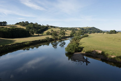
Look out for: Great views from the bridge. The sharp bend of the river is what geographers call an incised meander.
5 Access to Caton village centre. 8.4 km/5.3 miles.
Parking. Keep following the track, with care where it crosses some farm access roads.
6 Opposite Bull Beck car park and picnic area. 10.2 km/6.4 miles.
TAKE CARE! If crossing the main road to/from the car park and picnic area. The cycle route simply continues straight along the track. Look out for: The sweeping bend of the river. The shallow waters here are very popular with anglers.
7 End of cycle-track. 10km/6.2 miles.
A footpath continues along the river bank but cyclists must either join the busy road or turn round and retrace their route.
Get Directions