


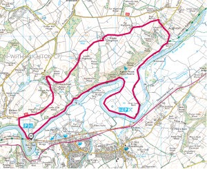
Crook O’Lune Circular Walk

A riverside wander along the Lune from Caton to Aughton, before climbing to admire the stunning views across the valley and returning across verdant pastureland
AT A GLANCE
How far? 12km / 7.5 miles (9.5km / 5.9 miles)
How long? 3 hours 30 mins (2hrs 45mins)
How hard? Moderate: Occasionally uneven paths with several stiles.
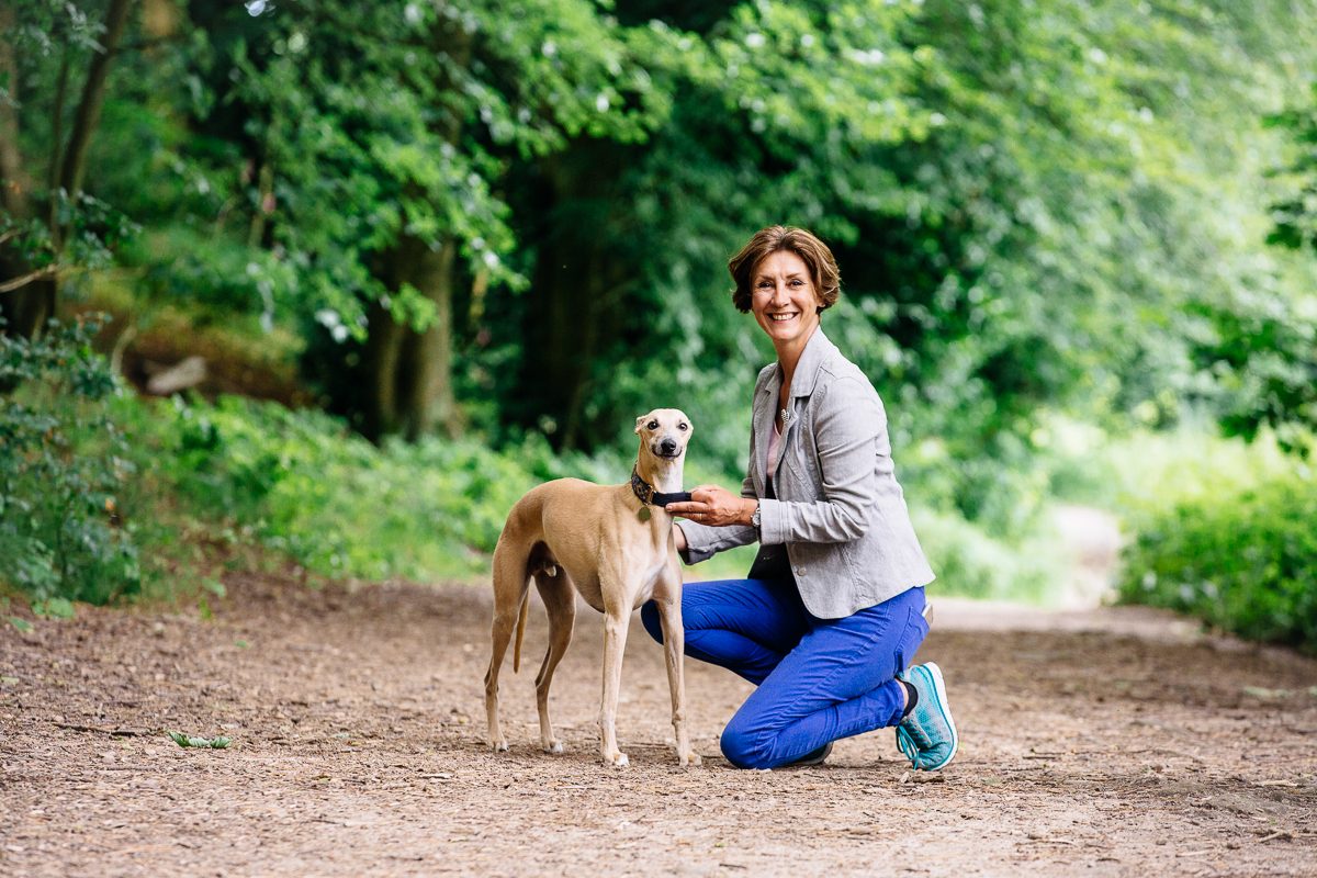
Dog-friendly? Keep dogs under close control and ideally on a lead.
Start/finish: Caton Picnic Site Car Park. SD 521647
Toilets: At Start point
Refreshments: Caton Village
Points Of Interest
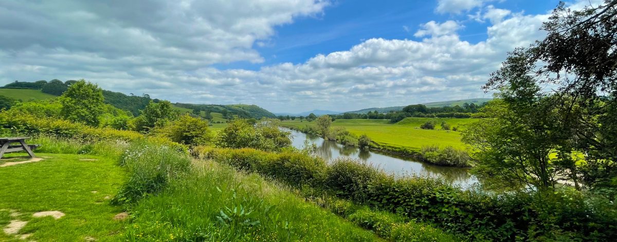
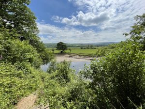
The ‘Crook’ of Lune is a large meander in the river between the villages of Halton and Caton – spanned by two viaducts which once carried railway lines but are now pedestrian footways. J M W Turner painted the wonderful view up the valley towards Ingleborough from the East Viaduct, while William Wordsworth noted the vistas in his ‘Guide to the Lakes’. Aughton Woods on the northern bank of the river is one of the finest examples of ancient oak woodland anywhere in Lancashire.
1) START
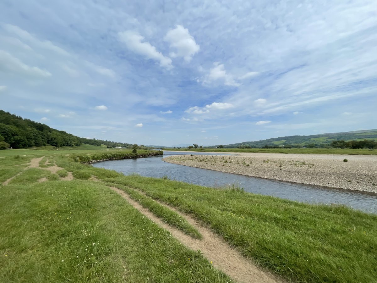
Leave car park on footpath to right of toilets and descend sharp right down steps and through kissing gate to join riverside path heading northeast. Follow the river upstream for half a mile to kissing gate beside weir. Continue through gate into woods.
2) 1.0km
The next section of path is quite uneven and eroded in places. Stick to the riverside and take care. Emerge through kissing gate into meadows and continue half left, crossing a footbridge and rejoining the river after 300m.
3) 1.4km
Continue upstream past pipeline bridge and over another footbridge into Aughton Woods – one of the finest examples of ancient oak woodland in the county. Again, this section through the woods can be slippery and uneven – especially after heavy rain. Take care on the wooden walkways.
4) 2.5km
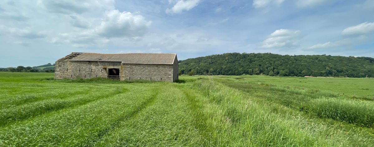
At the edge of the woods where the river meanders sharply round to the right in a tight hairpin, follow the riverbank through the fields as it doubles back over the footbridge then continue through the riverside meadows for just over a mile to the barn.
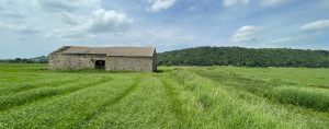
5) 4.5km
From here, follow the path over stile beside gate and onto grassy path heading half right across meadows towards a ladder stile beside low hut, then follow riverbank back towards woods.
ALTERNATIVE ROUTE
While there is no established right of way here, it is possible to continue straight across this meander to cut the walk distance by 1.5 miles. Simply continue straight ahead, skirting the edge of the woods, then follow the hedge line to rejoin the riverside path after around half a mile.
6) 5.2km
Continue upstream for quarter of a mile to join footpath beside track to Aughton Barns. Continue on track past barns to farmhouse and, ignoring footpath off to right, continue half left on track between house and barn to join country lane.
7) 6.2km
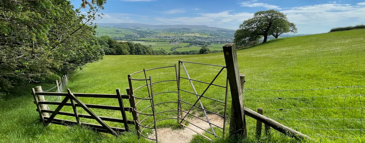
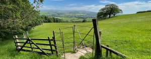
Climb steeply for 400m, continuing straight over crossroads and past the houses to take footpath over metal stile on left. Cross two stiles and head half right over the field to stile in top corner of field above the woods.
8) 7.1km
Cross stile and head half right towards farm buildings, crossing two stiles and continuing diagonally past transmitter to corner of paddock and following hedgeline along right hand side of field and over another stile, continuing along the hedgeline towards the next farmhouse.
9) 8.1km
In corner of field, cross stile and head past sheds and through metal gate onto track between barns. Head left then right over squeeze stile and over cobbles into lane.
10) 8.2km
Turn left then right over stile and follow wall along right hand edge of field and through gate, continuing along right boundary of wall. Views open out to the south across the valley to the Bowland fells and west to Lancaster and the sea beyond.
11) 8.6km
Cross the ladder stile at the next field boundary and quickly through a gate and across the corner of the field to follow the hedgeline to another large farm. Skirt the boundary of the farm then right through gate and down track through yard and half left through two metal gates back into fields.
12) 9.0 km
Follow rough track through another gate and continue to kissing gate on edge of woods. Continue through kissing gate, staying above the line of trees to follow hedgeline then, above the hamlet of Halton Park, go through squeeze stile and continue along other side of hedgeline. Follow marker posts around edge of farm then through gate beside garage and right onto track.
13) 9.7km
Continue past houses and through wood to lane. Turn left and follow lane over cattle grid and into parkland for half a mile. Just before the next cattle grid, turn left onto bridleway beside road and follow this back to car park.
Get Directions