


Aldcliffe Marsh Loop – Walks with Stories
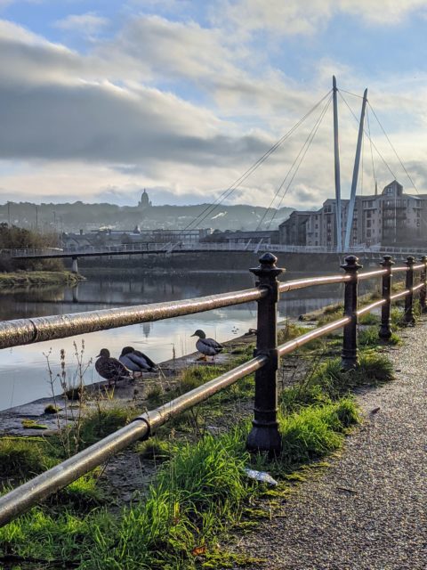
This walk is a short one in south west Lancaster, following the River Lune as it becomes the estuary, through woods and along the old Lancaster to Glasson railway before diverting via a lane with a dark past back through Aldcliffe past the canal and further historic green lanes.
Walk reproduced by kind permission of Lancaster City Museum. Discover more inspiring ‘Walks with Stories’ on their Facebook page.
Distance: 3.1 miles (1.5-2 hours walk)
Accessibility: Mostly flat with a gentle climb, some areas on hard track, some muddy tracks and a narrow stile/gates to cross and a short but steep set of steps. Toilets, none available.
Refreshments: – None available on route (take your own!)
*At this time, please only do these walks if National Restrictions allow and they are your local area too*

1. Starting from Coronation Field, off Willow Lane
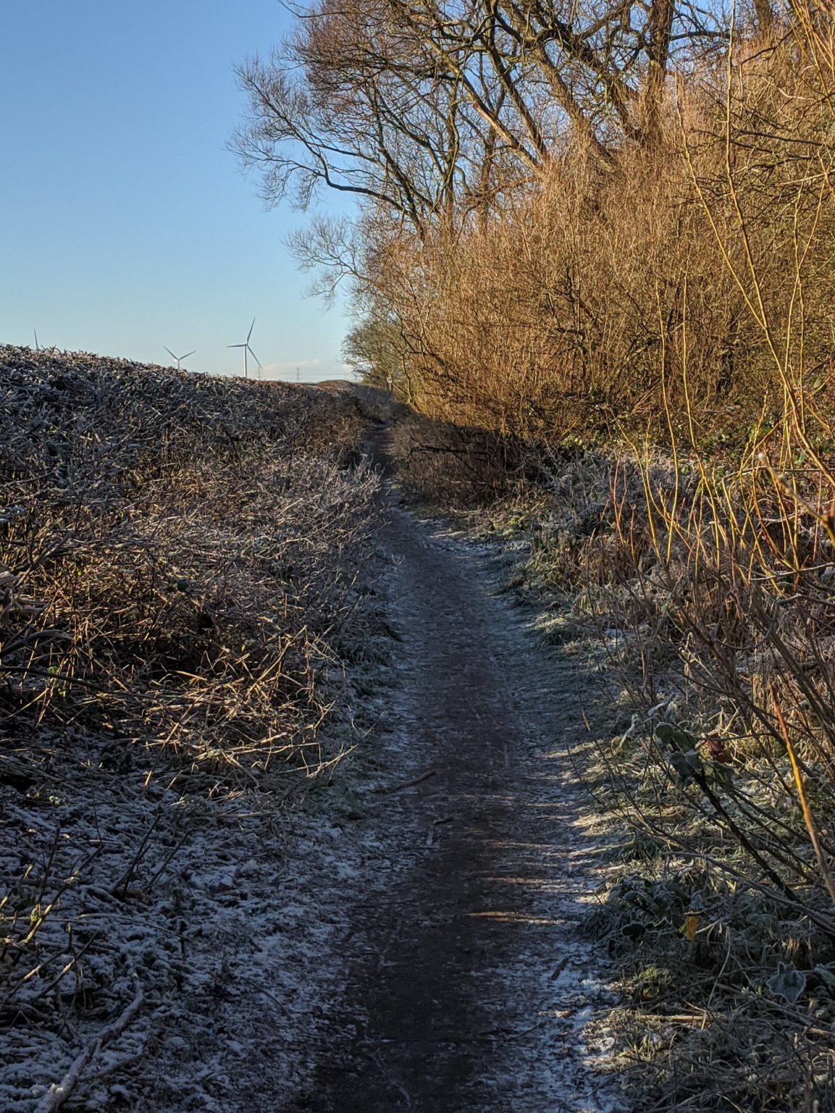
Follow the woodland track, crossing Lucy Brook and head into Freeman’s Woods. The woods have a fascinating history (Find out more on the StoreyG2 website) and for almost a year now have been designated a Town Green, securing their future as open/recreational space. The links to their previous industrial use can still be seen, walking along as you may spot reams of linoleum waste from Williamsons Lune Mills poking out of the ground of to the side. After a half mile or so, you reach the cross roads with the cycle path, take a left, heading towards Glasson.
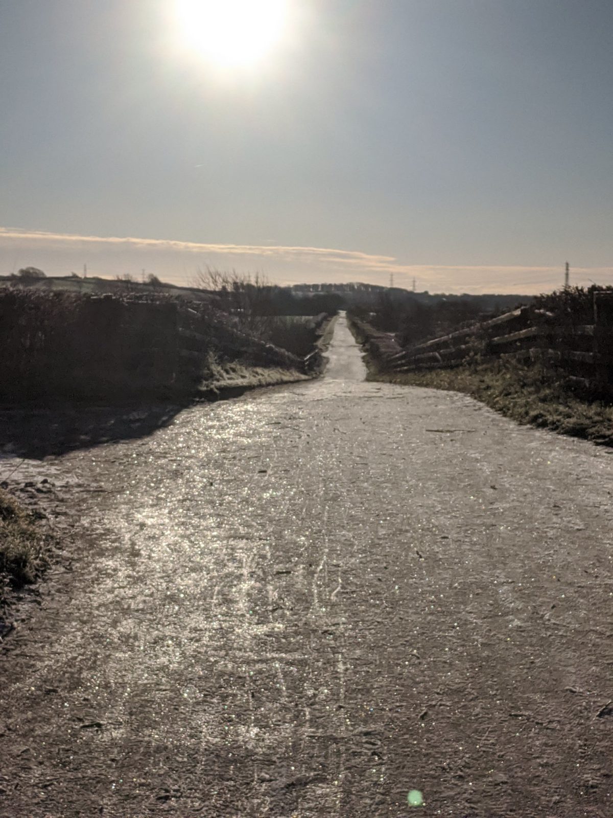
2. Now on the old Lancaster to Glasson Dock Branch Line
The line was built in 1883 and ran until 1964, and latterly only as a goods line. Continue for around 3/4 of a mile. There is often flooding towards the end of this section of the cyclepath- it is strongly recommended that when you see the higher path on the left that runs parallel to the cyclepath you take it- the flood waters are knee deep!)
3. At the junction with Aldcliffe Hall Lane
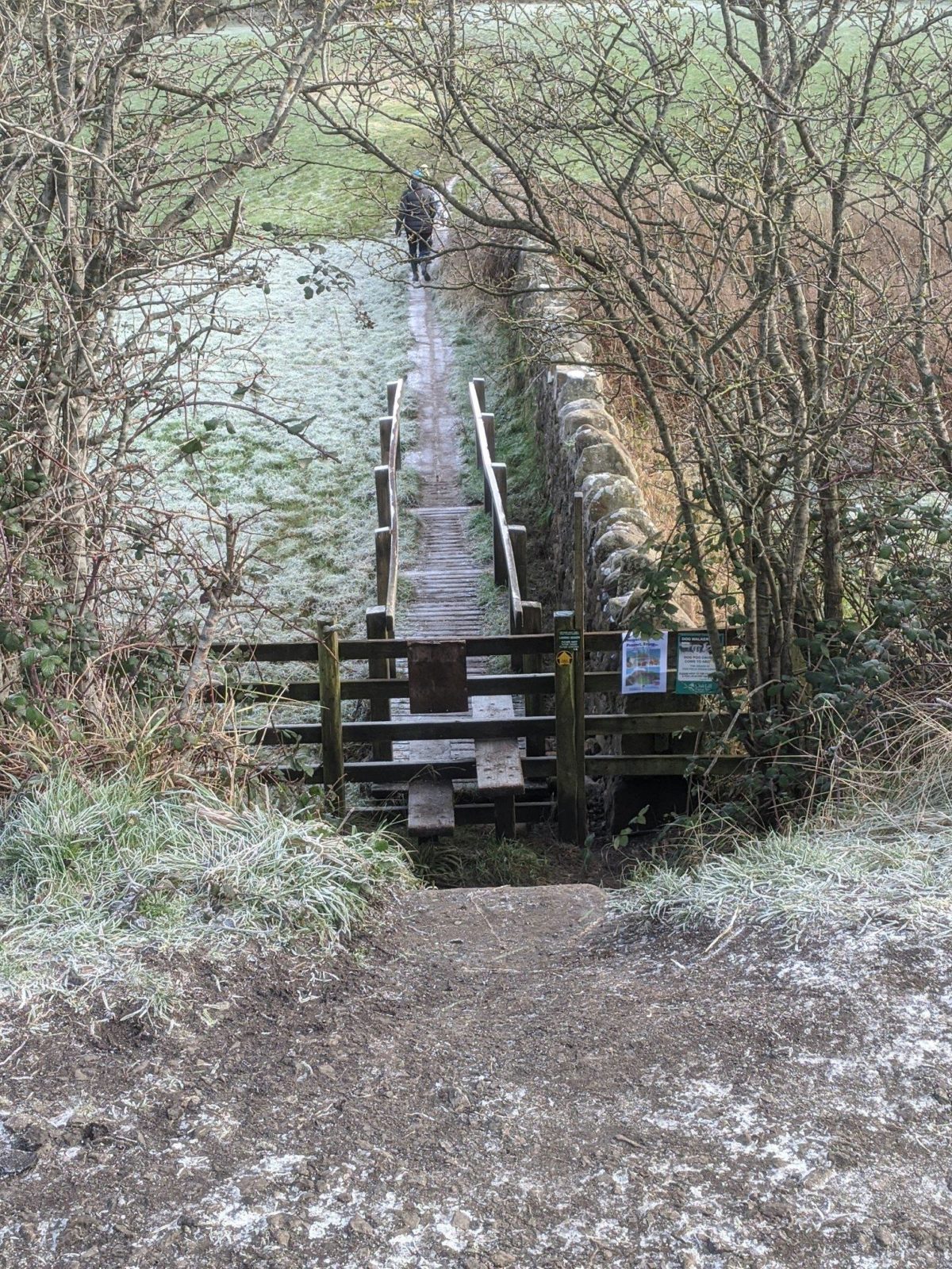
Continue straight on along the cyclepath. The view of the estuary opens up here and there are huge piles of driftwood that have collected. After 1/3 mile on your left, you will come quickly upon a set of steps and a wooden stile, below the level of the cycle path. Take it and cross the wooden duckboards that lead you gently upwards through a field to another stile. Off to your right you may spot the huge Arna Wood Solar Farm. Follow the path that goes along the hedge line of the field, walking back upstream once more. The path leads you through a further hedge and then through a small gate onto a narrow lane.
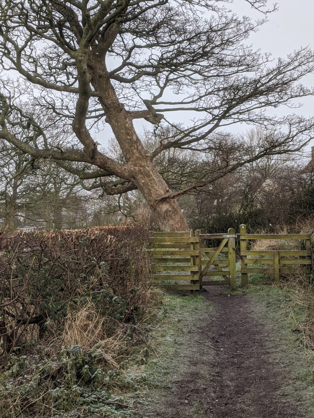
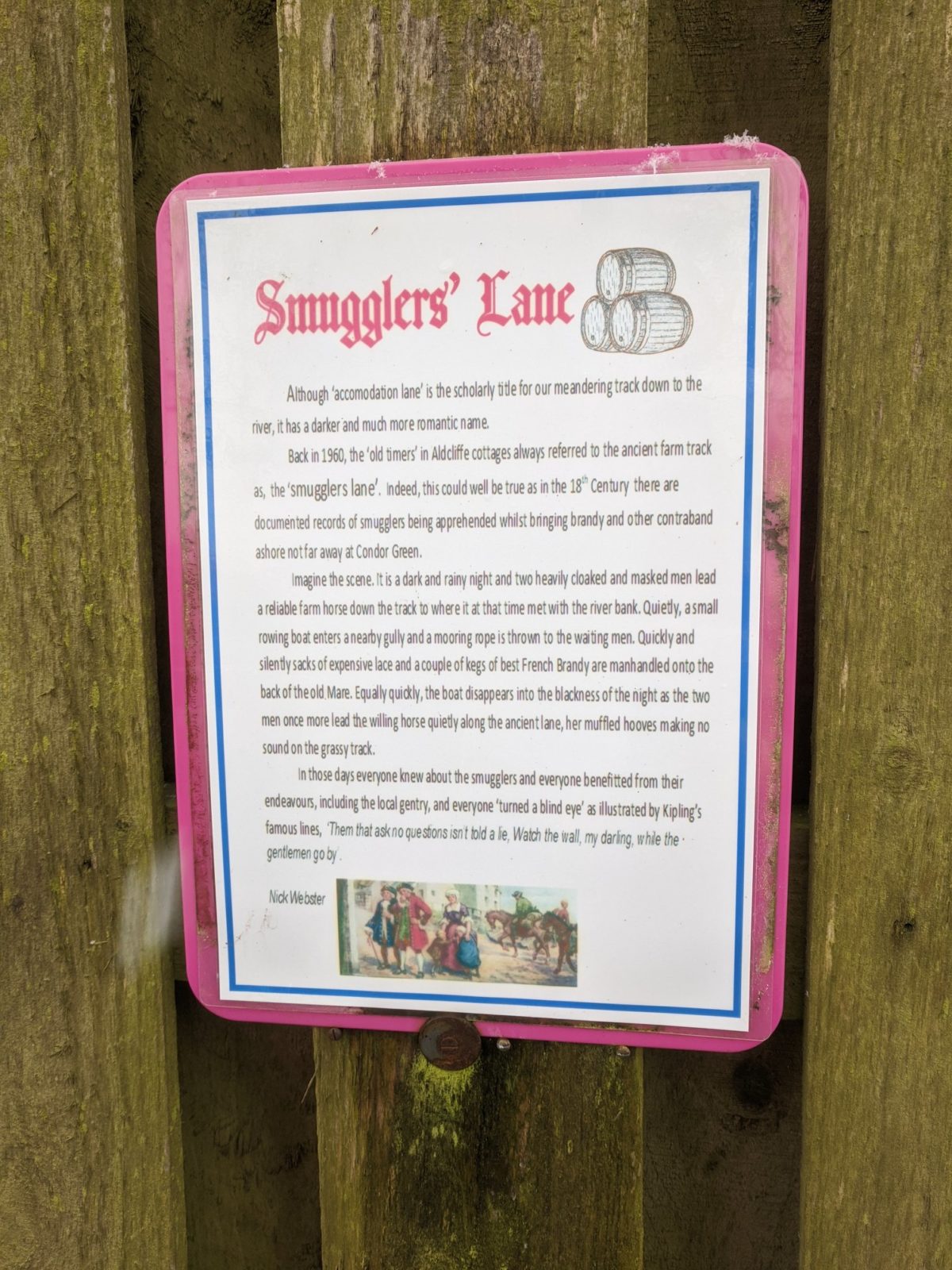
4. Smuggler’s Lane
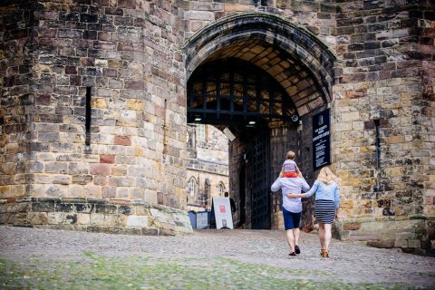
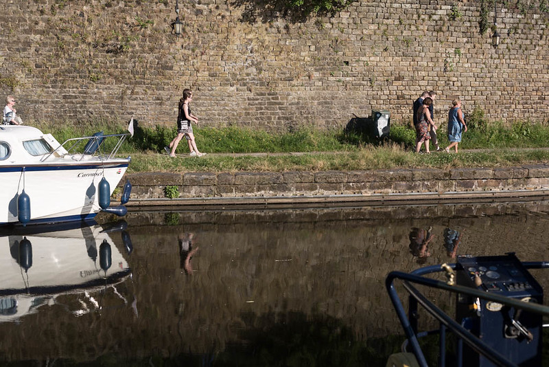
The lane, lined with deep, high hedges is known as Smuggler’s Lane (officially it’s Accommodation Lane) but locally known as Smugglers. See the photo in the Gallery for how it supposedly earned it’s name, avoiding a visit to the Custom House! The lane ends behind the houses in Aldcliffe and pops you out on Aldcliffe Hall Lane (watch out for cars). Cross straight over onto Aldcliffe Hall Drive. Aldcliffe Hall which originally belonged to the Dalton family in the 1550s was demolished in 1960; continue along the drive until it drops down to the canal, past East Lodge, which was once the entrance lodge for the old hall.
5. At the end of Aldcliffe Hall Drive.
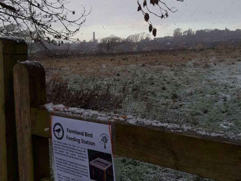
Don’t go on the canal but take your immediate left down the bridleway, locally known as the Long Pads (or sometimes Kendal Pads). Alternatively you can take the very nearby newly created Pony Woods footpath by the Fairfield Association which gives an unusual and attractive viewpoint towards the back of the castle. This brings you out by a brand new bird feeding station, overlooking the wildflower meadows. Going along this footpath you can often see the rare breed White Park cows and their calves, along with a wide variety of winter field grazing birds like lapwing and oyster catchers.
6. The path now meets the Fairfield Orchard path at Lucy Brook once again.
Follow it around to the left alongside the brook, behind the houses of Abraham Heights until reaching Willow Lane. Turn left and follow the road and small wooded footpath alongside until you reach the starting point once again.
Get Directions