

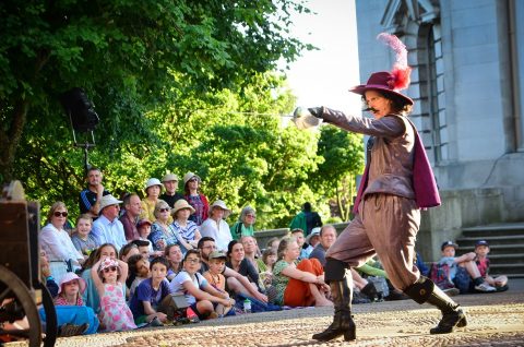


Institutions and Industries – Walks with Stories
This historic themed walk takes you from the city centre, past institutions both old and new. Pass by some of the darker locations in our city’s past before traveling through relaxing countryside and across ancient tracks. Return back to our city centre alongside the waterside industries of Lancaster’s River Lune and Canal.
Walk reproduced by kind permission of Lancaster City Museum. Discover more inspiring ‘Walks with Stories’ on their Facebook page.
Distance: Approx 6 miles (2-3 hours walk)
Gradient and terrain: Gentle ascents and descents mostly on hard track, bridleways and roads, a few muddy areas.
Public Toilets: In the city centre.
Refreshments: Available in the city centre and shops in Halton.
*At this time, please only do these walks if National Restrictions allow and they are your local area too*

1. Start in front of Lancaster Town Hall in Dalton Square (LA1 1PJ)
Turn left up Nelson Street and begin the upwards climb out of the city. After crossing over the canal bridge in front of St Peter’s Cathedral, continue upwards on East Road. Walk past Lancaster Royal Grammar School, opened in 1851 and built in a medieval/Gothic style by local architects Paley & Austin.
Take care crossing the busy junction. Continue straight on up (turns into Quernmore Road) and make your way past the Grammar School upper site, built on the site of a former Lancaster Workhouse.
–
2. Take a moment to look back over Lancaster and beyond.
On a clear day a wonderful panorama of the Lakeland fells opens up. Until 1800, hangings in Lancaster took place in this windswept area on the edge of the town. It’s a sobering thought that this was the condemned’s last view. The wind also powered several long demolished windmills in this area called Highfield.
The road now passes by another much loved Lancaster open space, Williamson Park. The park was begun as a way of providing labour to unemployed workers during the cotton famine in 1862-5. Converting old stone quarries to a public drive, the Williamson dynasty eventually transformed it into the park we see today.
At this stage it is worth detouring from Quernmore Road and pass through the fascinating Lancaster Cemetery. With it’s three chapels, lodges and graves of Lancaster’s eminent citizens, it is the resting place of Lord Ashton and his three wives.
–
3. Emerge on the corner of Stone Row Head.
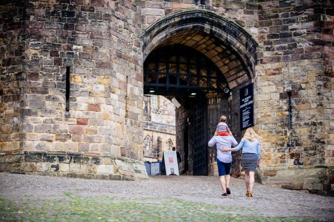
At this point you will be greeted by the imposing view of the Lancaster Moor Hospital buildings (now converted to residential use). Despite its size, this Gothic building (opened 1882) was known as the ‘annexe’ as the original classically styled Lancaster County Asylum was built in 1816 across the road and was also redeveloped into Standen Park (residential), named after the original architect.
Carry along Stone Row Head towards our final and newest institution, HMP Lancaster Farms. Lancaster Farms opened in 1993, originally as a young offenders institute.
Before entering the prison car park, look out for a a bridleway pointing to the right and take the route along the old ‘Moor Lane’. This bridleway goes through a section of woodland before following the rear length of the prison. At the end of the lane, you’ll notice you’re now walking alongside the M6 northbound and the route becomes considerably more rural.
–
4. Arrive at the footbridge over the M6 Motorway
At the junction with Ridge Lane (supposedly the location of a Lancaster plague stone), take the footbridge over the motorway and follow the bridleway left along the historic Grimeshaw Lane. The old maps show this track going towards Halton and Caton for hundreds of years but records hint that it could be at least a 1000 years old and possibly even Roman! It’s certainly an old lane with high hedges and deeply cut banks.
Enjoy views across to Ingleborough and the Yorkshire Dales. After about a mile, it comes out onto the main road (A683). Carefully cross the road and head straight down Denny Beck Lane.
–
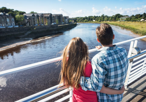
5. Head straight down the lane to Denny Beck and the River Lune.
Walking alongside Denny Beck and past the houses, you’ll see an disused old station building. Take a left here onto the cycle path that heads back towards Lancaster. Shortly after you’ll cross underneath the carriageway of the M6 (opened in 1970) and the new Bay Gateway bridge of 2016.
*Unfortunately immediately after, the cycle path is currently closed due to ongoing flood defence works – follow the detour onto Caton Road.
–
6. Carry along the road until you come to Lancaster Aqueduct.
You can either go under the aqueduct and take the stairs immediately back up to the canal. Alternatively, walk through the urban park area (entrance inside the car park) on your right with sculptures and small ponds. This takes you back towards the River Lune, before turning left and climbing up the steep steps. You are now on Lancaster Canal. Turn right at the canal to head towards the city. Designed by John Rennie, the Lune Aqueduct opened in 1797.
Immediately after crossing Caton Road, look across to the opposite bank- the eagle eyed may spot the historic coke ovens.
–
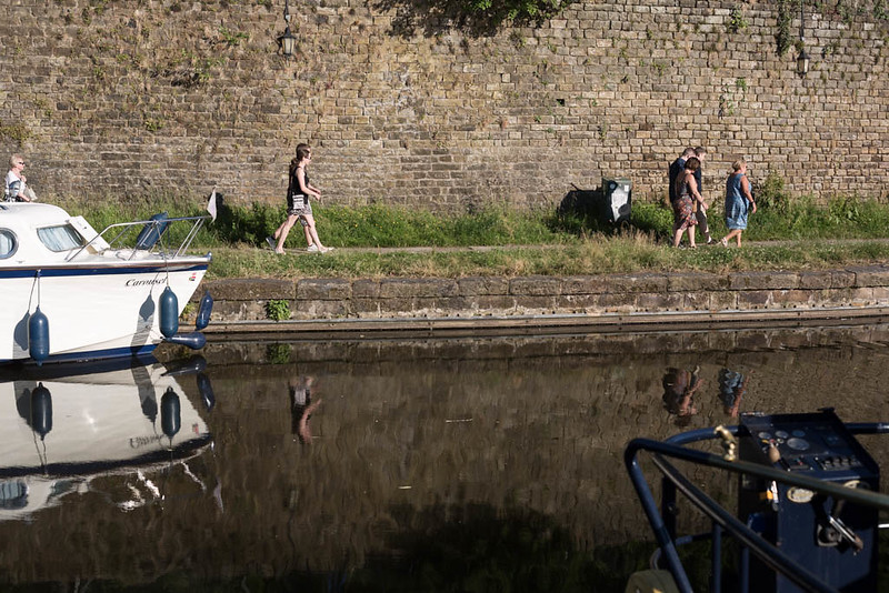
7. You’re on the home straight now and the focus is industry.
Walking along the canal, you’ll see Lansil (Lancaster Silks) industrial estate below, once one of the world largest producers of synthetic fibres used in clothing.
Passing under Ridge Lane bridge marks the junction of the old mills that used to line this section of the canal. Your route follows Ridge Mill, Bath Mill, Greenfield Mill and Moor Lane Mills. All are either demolished or converted now but once would have been thundering with the makings of silks, cottons and oilcloth in their days.
–
8. Now you’re back in the city centre
Exit the canal at Moor Lane Bridge and turn right down Moor Lane, then left up Bryer Street, right along Sulyard Street and finally back to the beginning of the walk in Dalton Square.
–
Discover more inspiring ‘Walks with Stories’ on Lancaster City Museum’s Facebook page.